File:Emenegger and 44 shoal aerial.png
Jump to navigation
Jump to search

Size of this preview: 800 × 343 pixels. Other resolution: 1,241 × 532 pixels.
Original file (1,241 × 532 pixels, file size: 1.02 MB, MIME type: image/png)
Summary[edit | edit source]
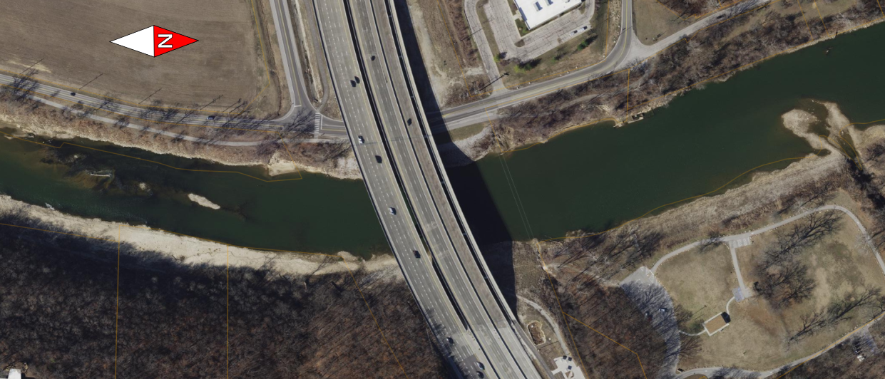
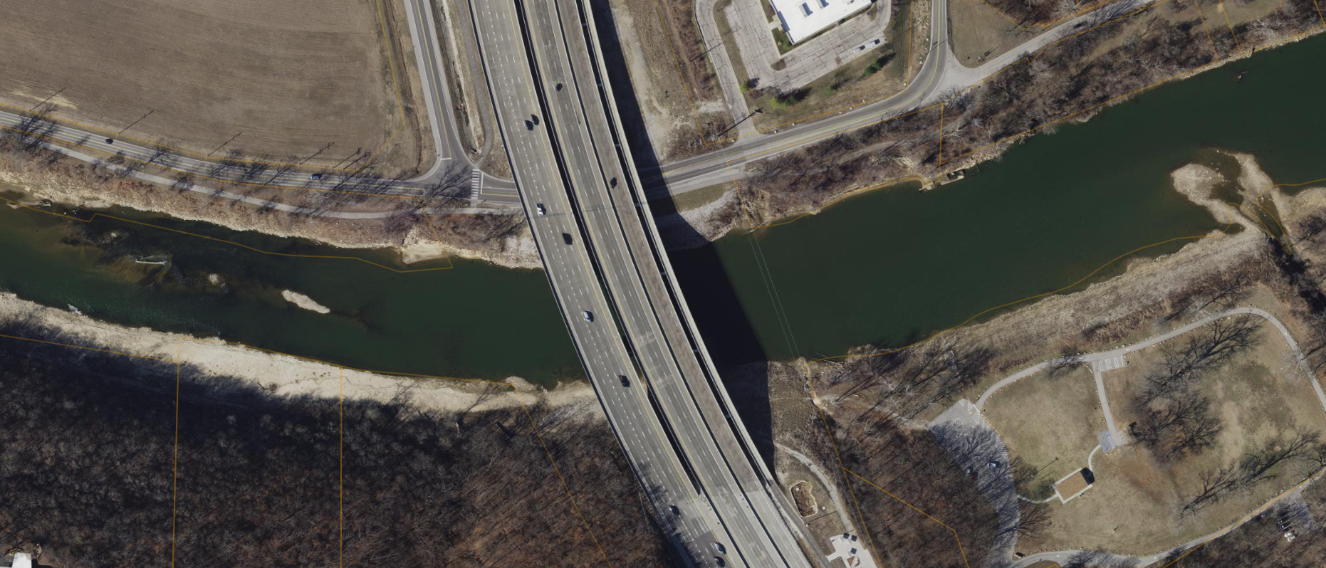
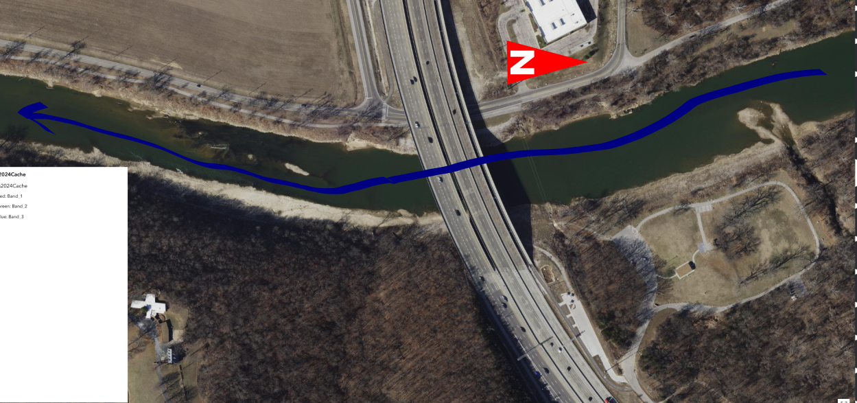
Publicly available aerial photography from St Louis County Arcgis system. Rotated aerial to show 44 shoal and the sand bar at Emenegger Park
File history
Click on a date/time to view the file as it appeared at that time.
| Date/Time | Dimensions | User | Comment | |
|---|---|---|---|---|
| current | 02:57, 1 January 2026 | 1,241 × 532 (1.02 MB) | Rootwad (talk | contribs) | includes compass rose |
| 02:35, 1 January 2026 | 1,862 × 798 (3.01 MB) | Rootwad (talk | contribs) | ||
| 03:01, 19 December 2025 | 1,249 × 587 (1.1 MB) | Rootwad (talk | contribs) | Publicly available aerial photography from St Louis County Arcgis system. Rotated aerial to show 44 shoal and the sand bar at Emenegger Park |
You cannot overwrite this file.
File usage
The following page uses this file: